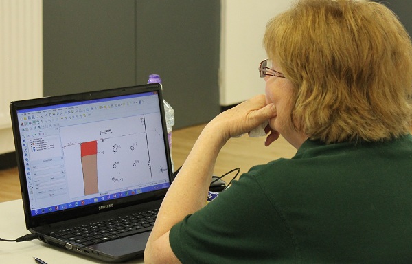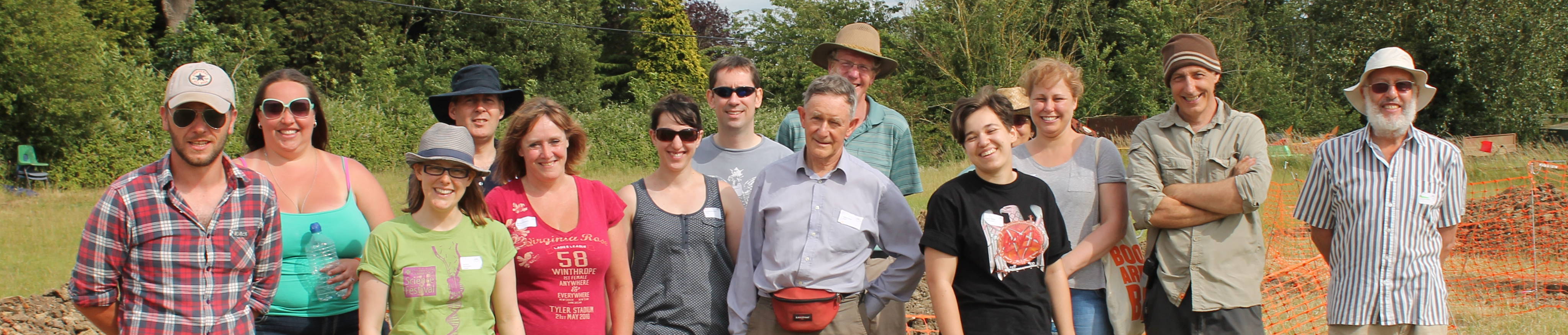


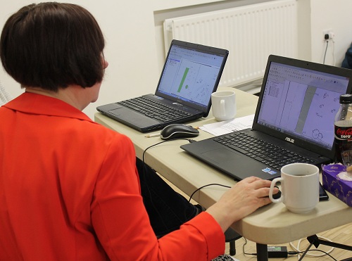
We had a great turnout for our QGIS courses on Saturday! In the morning we held a Level 1 course, which helped participants georeference plans (i.e. make two different plans overlay each other accurately so it is possible to compare data). In the afternoon's Level 2 course we turned to more site-specific uses of QGIS, such as for digitising site plans.
As usual, there was a great atmosphere as people from across the county discussed and worked through the course material together, and shared updates about their current archaeology projects. It was also great to see some new faces - the youngest being 15!
Our trainer, Stuart Ladd, has done a great job of making some complicated information accessible in our Best Practice Guides. These will soon be available to download from our Downloads section - watch this space!
 |
|